A climate change initiative
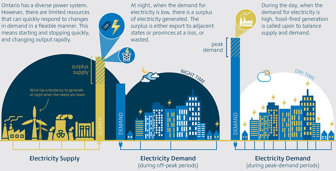
TC Energy retained Navigant to perform an economic analysis of the proposed Pumped Storage Project with two focus areas:
Assess the potential impact of the project on the cost of electricity for Ontario ratepayers.
Quantify the potential CO2 emissions reductions for the electricity sector attributable to the project.
The Navigant team completed a rigorous economic analysis and simulation of the Ontario electricity market, calculating the ratepayer and CO2 emissions impacts of the project by running simulations with and without the project.
| Feasibility Assessments | What it studies | How it's studied | How it informs preliminary project planning |
|---|---|---|---|
| Unmanned Aerial Vehicle (UAV) LIDAR Survey | Topographic conditions/physical features of the project site area. | A drone is mounted with a LIDAR sensor and flown across the project site area. | Assesses and supports the design of the reservoir, penstocks, powerhouse, intake and discharge structures. |
| Bathymetry Survey | Underwater depth of Georgian Bay lakebed. | A multibeam echosounder (a type of sonar) is mounted to a boat and pings a beam of sound to the lake floor. | Assesses and supports the design of the intake and discharge structures and provides inputs to 3D hydraulic modelling, which studies water flow in and out of the lake and water turbidity. |
| Sediment Sampling | Lakebed characteristics such as sediment texture, consistency and smell. | A hand-operated dredge sampler is dropped to the lakebed from a boat. Sediments are then sent to a laboratory for testing. | Supports the design of the intake and discharge structures, provides inputs to 3D hydraulic modelling, which studies water flow in and out of the lake and water turbidity. |
| Geotechnical Drilling | Characterizes the overburden materials, bedrock elevations and quality of bedrock. Also establishes groundwater levels. | Boreholes are drilled at various depths into the soil and bedrock with a drill rig. | Supports the design of the reservoir, penstocks and powerhouse by determining what the ground is made of and its characteristics. |


